Optical satellites need sunlight and a clear sky. SAR sends its own signal down and reads what bounces back, so cloud cover, monsoon rain, and snow are irrelevant. For agencies trying to track slope movement through a four-month monsoon season, that's not a minor detail.
Most satellite imagery works the same way your eyes do. It needs light, specifically sunlight, and it needs a clear path between the sensor and the ground. Clouds, rain, smoke, and haze all get in the way. In temperate climates with mostly clear skies, that's manageable. In high-altitude mountain regions during monsoon season, it's a serious problem.
The monsoon season across South Asian mountain ranges runs from roughly June through September. During that window, cloud cover is near-total for weeks at a time. Optical satellites like Landsat, Sentinel-2, and Planet are effectively blind. The slopes are most active during this period. Rainfall saturates soil, rivers undercut valley walls, and the combination of steep terrain and heavy water loading is exactly when displacement events are most likely. But the satellites that could document it can't see through the clouds.
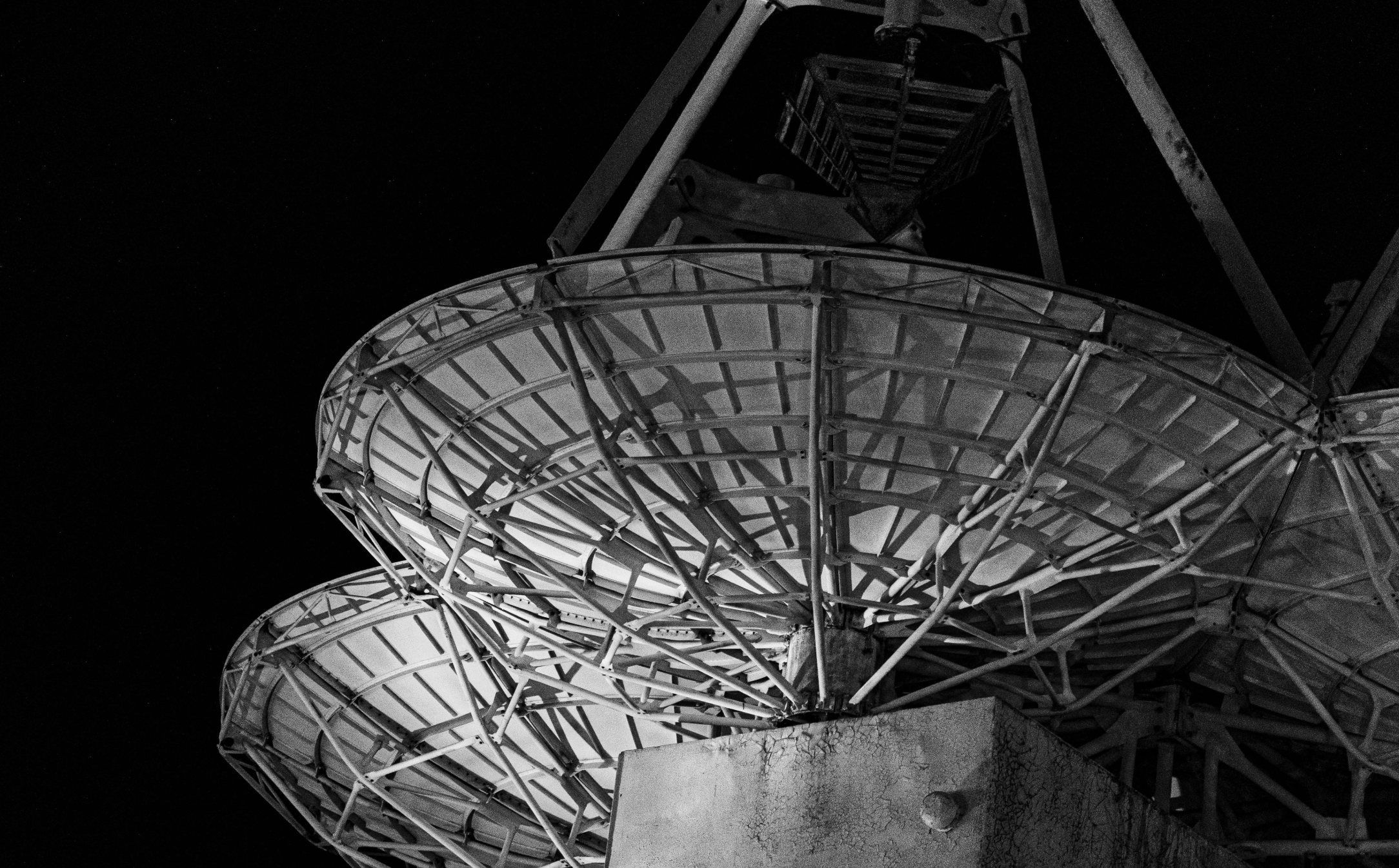
Synthetic Aperture Radar works differently. Instead of waiting for sunlight to reflect off the ground, SAR transmits its own microwave signal and measures what comes back. Microwaves pass straight through cloud, rain, and atmospheric haze. The sensor doesn't care what the weather is doing. It gets a return from the ground on every pass, regardless.
This isn't a marginal improvement. For a monitoring programme that depends on consistent, comparable data across time, the difference between "works in all conditions" and "works when skies are clear" is the difference between a usable dataset and a dataset full of gaps at the worst possible times.
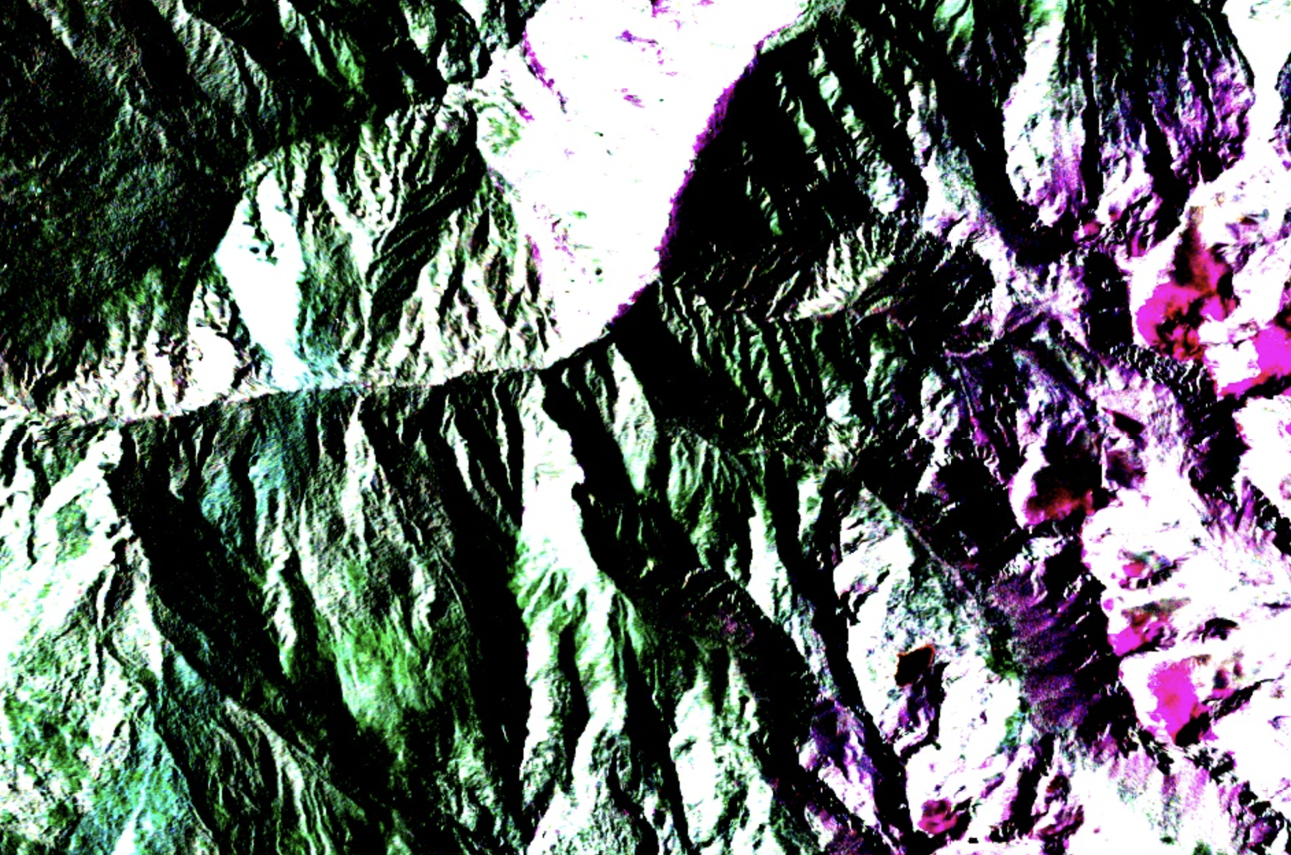
The practical implication for mountain terrain monitoring is straightforward. A SAR-based system like Alnuc can compare passes from June and September and measure how much a slope moved during the monsoon. An optical system can't. The data simply isn't there.
There are trade-offs worth being honest about. SAR imagery is harder to interpret visually than optical. The processing pipeline is more complex. And the 6 to 12 day repeat cycle of Sentinel-1 means you're not getting daily updates. But for tracking cumulative terrain displacement over a season, that cadence is enough. The consistency of the data, with no gaps and no cloud-contaminated scenes, is what makes the time-series analysis meaningful.
For disaster management agencies and geological surveys working in monsoon-affected mountain regions, this is the core argument for SAR. Not that it's better in every way. Just that it works when optical doesn't, and that happens to be exactly when you need it most.